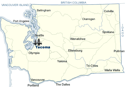
Map of the Bridge, WSDOT
The Collapse of Galloping Gertie:
A Revolutionary Turning Point in Suspension Bridge Design
Map of the Bridge, WSDOT
The Tacoma Narrows Bridge is located in beautiful western Washington. The bridge spans the mile-wide Puget Sound. On the westside is the Kitsap Peninsula, and to the east is the Tacoma/ Seattle area (Tacoma Narrows Bridge History).
Everything was great for the residents of the Tacoma-Peninsula region. The distressing problem was that Tacoma residents and the residents on the Peninsula were disconnected. The only route was a two hour drive through Olympia (Chronicling America). Also, the military desperately needed the bridge for defense. WWII was starting and America had an air base in Tacoma, and a Naval shipyard on the Peninsula. These two needed connections so the military could have support. But, money was hard to get. Also, critics noticed the Peninsula had a small population and they would not use the bridge enough to refund the cash. Despite protests, thankfully, money became available because of the “New Deal” project during 1936 (Hobbs 8). Bridge supporters started feeling optimistic about a bridge across the Puget Sound.
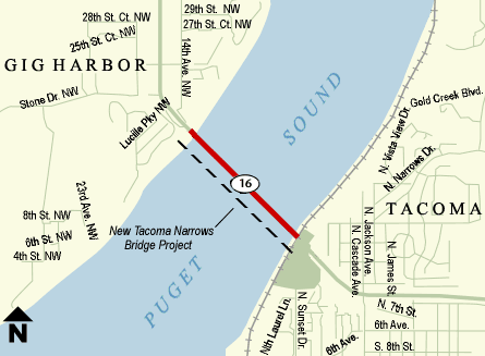
Map of the Tacoma Narrows Bridge, WSDOT
"The opening of Tacoma Narrows Bridge will make Tacoma the natural gateway to one of the most beautiful scenic areas in all the world."
~ A.B. Comfort, head of Comfort and Davis Inc. Tacoma Realtors